 Catàleg local de Mallorca
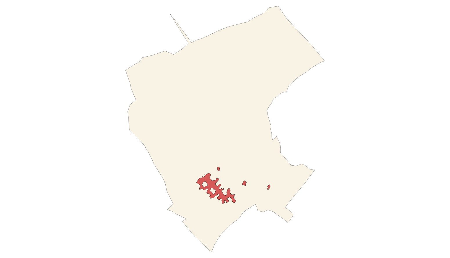
Ajuntament de Campanet
Type of resources
Available actions
Municipios
INSPIRE themes
Keywords
Contact for the resource
Provided by
Years
Formats
Representation types
Service types
Scale
-
Data set containing buildings on rural and urban land in the municipality of Campanet. The cartography was extracted from the heritage elements cataloged in 2012. The Buildings layer is a polygon layer and contains the buildings on rural land that follow the INSPIRE data model. Scale 1: 5,000. The reference system: ETRS89. Projection system: UTM zone 31. Storage format: PostgreSQL.
-

Data set containing elements and areas protected by municipal legislation. The protection is provided by the Subsidiary Regulations of the municipality of Campanet in 2002 and Heritage Catalog approved with prescriptions in 2011. The Protected layer. Sites recognize all protected elements (deposits, mills, possessions, natural areas, etc.). Urban elements are digitized at 1: 1,000 scale and rustic elements, at 1: 5,000 scale. The reference system: ETRS89. Projection system: UTM fus 31. Storage format: PostgreSQL.
-
Cartography of the network of roads, roads and streets of the municipality of Campanet. It refers to the topic Transportation Networks in Annex I of the INSPIRE Directive. Mapping generated in 2019. The sources are the streets and paths of the Cartociudad's project, wich are update with the staff's knowlege of the council. Scale 1: 2,000 the streets and scale 1: 5,000 the roads and roads. Reference system: ETRS89. Projection system: UTM fus 31. Storage format: PostgreSQL.
-
Cartography of the toponymy of the municipality of Campanet. The names refer to the topics of the INSPIRE Transport and Protected Sites Directive in Annex I of the INSPIRE Directive and Land Uses in Annex III. Cartography generated in 2021. The sources are the Cartociudad project, version 2012, for the names of Transport, and the Urban Rules of 2002 and the Country Rules of 2003 for the names of Land Use and Protected Sites. The names of the urban elements are at scale 1: 2,000 and the names of the rustic elements, at a scale of 1: 5,000. Reference system: ETRS89. Projection system: UTM fus 31. Storage format: PostgreSQL.
-
Data set of the subject Using the soil of INSPIRE, generated from the cartography of the Subsidiary urban and rustic Standards of Campanet, approved in 2002 and 2003. It consists of three layers: Spatial plan, Zoning elements and Supplementary regulation. The data model and the symbology of the data set follow the specifications of the theme of Annex III of the European Directive INSPIRE, Land use, specifically of the scheme Planned land use. Urban elements are digitized at 1: 2,000 scale and rustic elements, at 1: 5,000 scale. The reference system: ETRS89. Projection system: UTM fus 31. Storage format: PostgreSQL.
-
Data set containing the addresses of the urban center of Campanet and a few kilometers from the rustic area of the municipality. Cartography was extracted from the Cartociudad project of 2012, a state project that collects all spatial information related to directions and roads. The AD.Addresses.012 layer is a layer of points and contains the addresses or portal numbers and various attributes that follow the Cartociudad data model and INSPIRE. Scale 1: 2,000. The reference system: ETRS89. Projection system: UTM fus 31. Storage format: PostgreSQL.
-
Data set containing the management areas of the municipality of Campanet. The cartography was extracted from the Revision of the Subisidàrias Norms of Campanet of 2003 referring to rustic land. The AM.ForestManagementArea layer is a polygon layer and contains managed, restricted, or regulated forest areas that follow the INSPIRE data model. Scale 1: 5,000. The reference system: ETRS89. Projection system: UTM zone 31. Storage format: PostgreSQL.
-
Data set that contains the ctaloged elements in rustic and urban land of the town of Campanet. Scale 1: 1,000 in urban, and 1:5,000 in rustic land. The reference system: ETRS89. Projection system: UTM spindle 31. Storage format: DGN i SHP.
-
Data set that contains the types of qualifications of the rustic land of the town of Campanet. Scale 1: 1,000. The reference system: ETRS89. Projection system: UTM spindle 31. Storage format: DGN i SHP.
-
Web Map Service that allows access to the cartography of the buildings of the municipality of Campanet. Cartography extracted from the layers of the protected elements in the 2012 heritage catalog of the municipality of Campanet. The service contains the general layer BU.Buildings contains the buildings of Campanet. The symbology associated with the layers is defined by the INSPIRE specifications. Access to this service is free as long as the Campanet City Council appears as the owner of the data and the Consell de Mallorca as the owner of the service. Scale 1: 5,000.